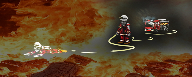
Positioning and mapping for soldiers and first responders
It is a technical challenge to create a positioning system that is accurate enough in GPS-denied environments. Accurate positioning would increase the safety for smoke divers, other first responders and soldiers operating in unknown indoor environments. It could be used for rapid search and rescue, to prevent firefighters and soldiers from getting lost, and to help a sector leader or incident commander keep track of the positions of firefighters or soldiers currently searching a building.
We develop a camera-based system, Chameleon, which is composed of two thermal infrared cameras, a stereo vision camera, and an inertial measurement unit. Chameleon is a system for simultaneous localization and mapping (SLAM), which navigates by tracking a number of landmarks (e.g., corners, lines or other points of interest in the camera images) as the camera moves through a scene. The system operates in both daylight and darkness, and can produce maps of visited environments.
_using_stereo_camera_and_inertial_sensors_Youtube.jpg)
Simultaneous Localization And Mapping (SLAM) using stereo camera and inertial sensors (Youtube video)
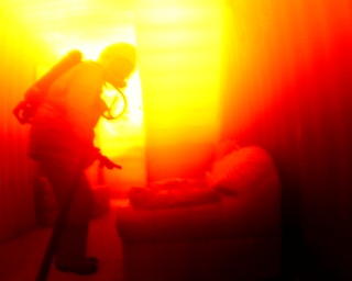
The Chameleon system has been developed in the Armed Forces' project Surveillance Systems. It has been adapted to smoke diver applications with funding from Security Link. The adapted system includes thermal infrared cameras in order to see through smoke and in darkness.
The video below shows positioning and mapping in a smoke-filled training facility for firefighters, using thermal infrared cameras.
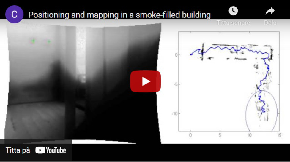
Positioning and mapping in a smoke-filled building (Youtube video)